Drought is the least understood natural phenomenon induced by consequent hydrological imbalance and precipitation deficiency. Droughts drastically impact people’s health, agriculture, economy and water resources. In the last decades, the frequencies of occurrence and intensities of droughts increased and the ever-growing requirement for water resources and the compound uncertainty of hydroclimatic factors aggravate the potential impacts of droughts on agro-ecosystems.
Water availability limits ecosystem growth and productivity across much of the Earth’s surface. In arid, semi-arid and Mediterranean ecosystems, limiting water availability is a recurrent phenomenon and governs plant growth and phenology. Agriculture is one of the sectors to be directly hit by the increased frequency of droughts. Changes must be made to adapt to such events, which may well become more extreme in both intensity and duration under climate change.
Recent research has increased understanding of droughts and – based on the acknowledgement that drought is more than a lack of rainfall – led to many different definitions of droughts. Different kind of droughts are commonly used:
-
Meteorological drought: when there is a lack of precipitation (rain or snow);
-
Agricultural drought: when soil moisture cannot support plants;
-
Hydrological drought: when river flows and groundwater levels are unusually low.
Droughts are one of the most complex of all natural hazards to analyse and understand because they have a wide-range of cascading impacts that may be caused or exacerbated by different drought aspects or other external factors (i.e. precipitation deficits (or absence of extreme rainfall events); actual and potential evapotranspiration and driving variables; soil moisture deficits and groundwater).
Meteorological drought due to a prolonged lack of rain is the trigger of the other types of drought: the absence of precipitation combined with rising temperatures and the consequent increase in evapotranspiration determines both hydrological drought characterised by watershed depletion and agricultural drought featured by an impoverishment of soil moisture and leading to reduction in total agricultural productivity.
Furthermore, agricultural and hydrological drought lead to unpredictable socioeconomic losses and ecosystem degradation, defined as socio-economic drought.
In the Germ of Life project we investigate ‘droughts’ that can account for the impact of drought on vegetation growth and productivity in relation to meteorological conditions and soil water availability. This corresponds most closely to the definition of ‘agro-meteorological droughts’ considering both the impact of rain deficiency and the low soil water availability on vegetation status and productivity.

Satellite-based indicators for drought monitoring
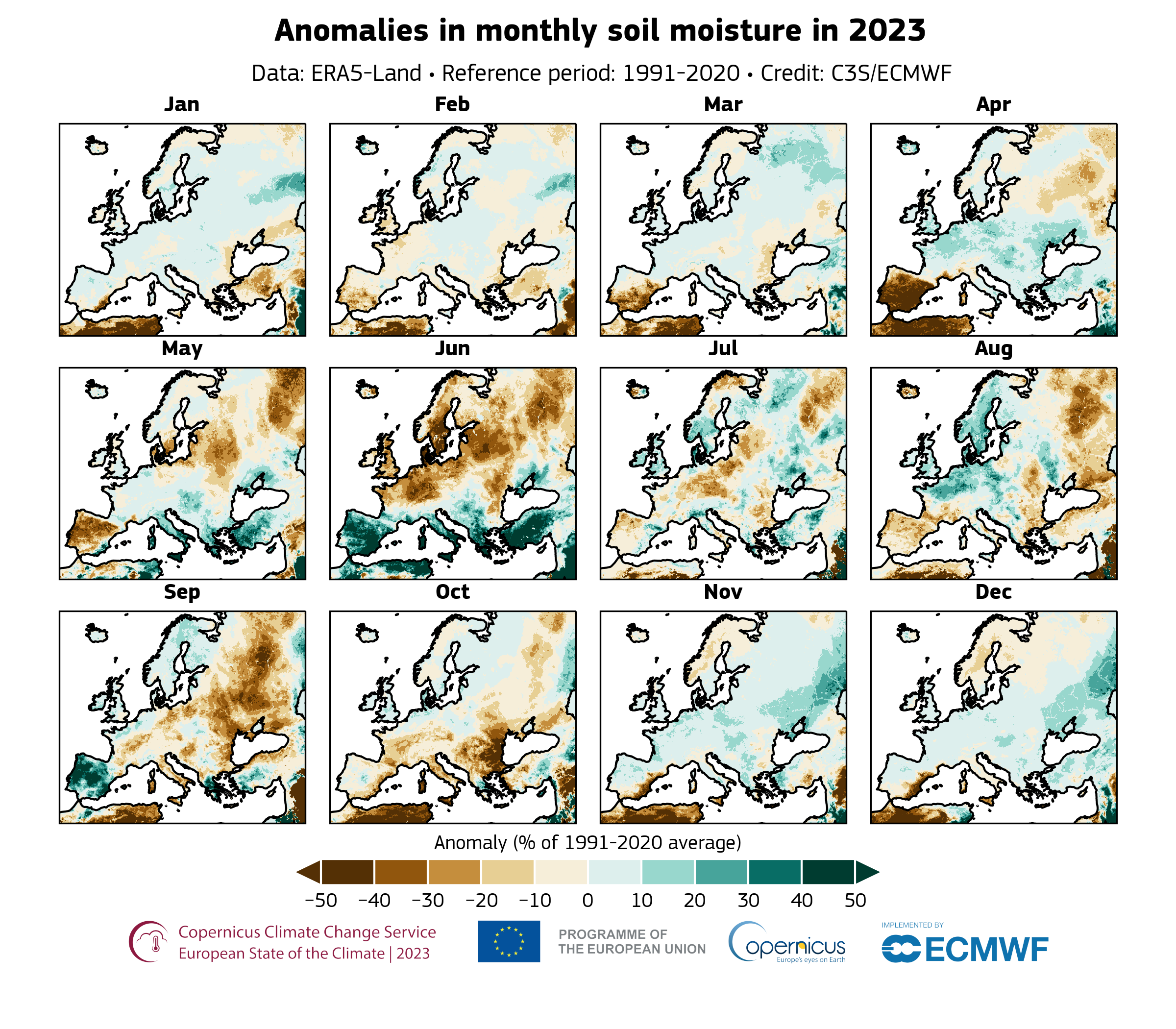
Proximal and remote sensing are powerful tools for describing the vegetation status under drought conditions. Both in situ and satellite observations have been used together with other variables that are more directly linked to ecosystem phenology and physiology. Remote-based models for describing vegetation growth and development usually combine observations of vegetation greenness, shortwave incoming radiation, temperature, and atmospheric demand for water (vapour-pressure deficit). The soil moisture can also be a proxy of aridity because its deficits have a direct impact on ecosystem productivity.
In situ optical observations offer fundamental complementary information that can be combined with satellite information to better understand the drought effects on ecosystem productivity at global scale5.
Recent advances in proximal sensing technologies (e.g., finer spectral resolution, higher temporal resolution) have substantially increased their applications in ecosystem ecology. The main advantages of in situ optical measurements over satellite remote sensing are finer spectral resolution (few nanometers) and the higher temporal resolution (hourly or less).

In the Germ of Life project we focus on a subset of vegetation indices used in scientific literature for quantifying vegetation status, growth and productivity. These indices together with environmental variables are used in a machine learning algorithm to model the effect of drought on ecosystems.
Index name: Normalised Difference Vegetation Index (NDVI), Chlorophyll Red Edge Index (ChlRedEdge), Green Normalized Difference Vegetation Index (GNDVI), Difference Vegetation Index (DVI), Disease Water Stress Index, Moisture Stress Index, Shortwave Infrared Water Stress Index, Leaf Water Content Index. Normalized Multiband Drought Index / Land Surface Water Index, Soil Adjusted Vegetation Index, Normalized Multiband Drought Index
Agricultural drought monitoring indicators: Crop Moisture Index. Crop Specific Drought Index. Crop Water Stress Index. Soil Moisture Deficit Index. Agriculture Drought Index
Datasets for meteorological and soil water availability monitoring: In addition to the Sentinel-2 data other remote-based proxies and agricultural indicators useful to detect drought stress on vegetation are listed the main global meteorological dataset and soil profile data that are commonly used in the calculation of definition of meteorological conditions and soil water availability. Sensor: ERA-5 and Sentinel-1 C-SAR.
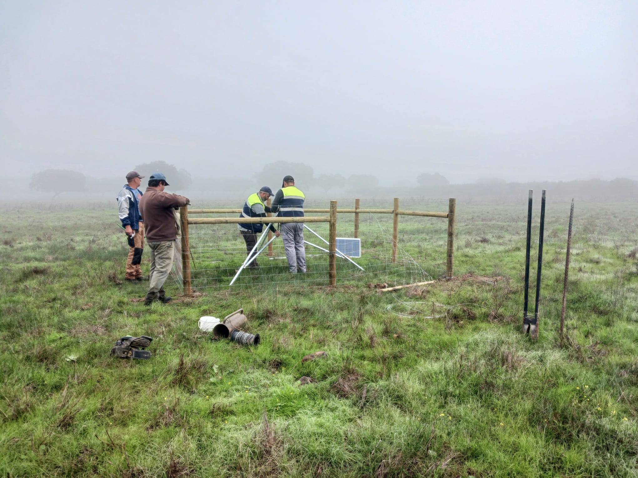
Development of drought indicator at Pilot Test Areas. It implies intensive use of different satellite data and the first tests conducted in the vicinity of selected Pilot Test Areas stations envisaged the acquisition of satellite Sentinel-2 data throughout the complete growing seasons and covering the surroundings of the Pilot Test Areas.


